Welcome to Precision Land Surveyors (Wales) Ltd Services page. Explore our professional land surveying services tailored to meet your needs.

Boundary Surveys
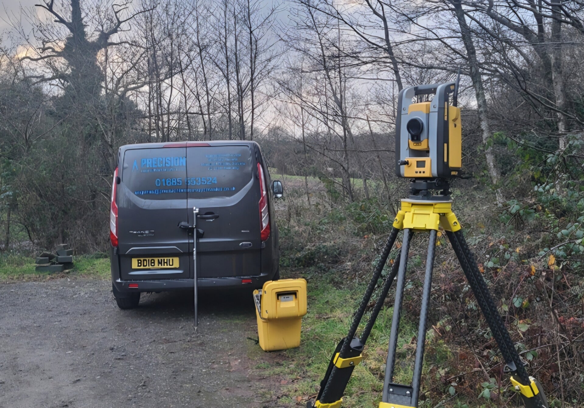
Our Boundary Surveys accurately determine boundaries using advanced surveying techniques and equipment. We provide reports for legal and construction purposes.
Our Boundary Surveys provide accurate property line determination essential for legal and construction purposes. Trust us to deliver detailed reports and precise boundary alignments.
- Accurate boundary determination
- Boundary reports
- Advanced surveying techniques
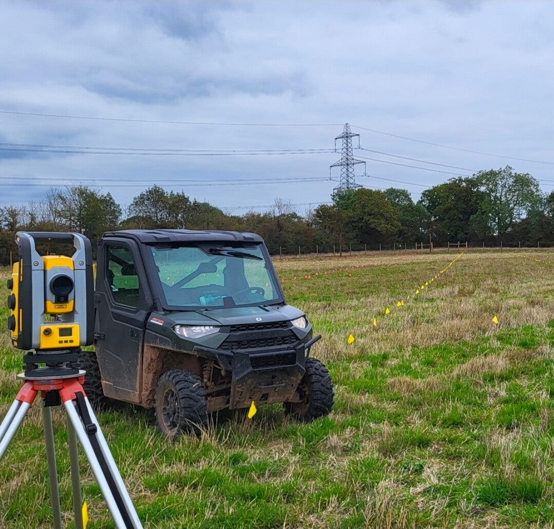
Topographical Surveys
showcase the natural and man made features of a land area including contours, elevations, and vegetation. Our surveys aid in planning and development projects.
With our Topographic Surveys, you can rely on comprehensive land feature representation and detailed elevation data crucial for successful planning and development projects.
- Comprehensive land feature representation
- Catered for planning projects
- Precise elevation data
Construction Layout Surveys
ensure precise location and alignment of structures and infrastructures on job sites. This service guarantees accurate implementation of construction plans.
Choose our Construction Layout Surveys for precise location and alignment of structures on job sites, ensuring accurate construction implementation with advanced layout technology.
- Exact location and alignment
- Accurate construction implementation
- Advanced layout technology

Compliant Plans
A compliant plan is required when you register a property with the Land Registry, or when you make certain changes to a property, such as building an extension. It is also used by solicitors and other professionals when they are dealing with property transactions.
- Provide a clear and accurate record of the boundaries of a property.
- Help to prevent boundary disputes between neighbours.
- They are required for many property transactions, such as buying, selling, or mortgaging a property.

Underground Utility Surveys
Underground utility surveys are essential for identifying and mapping the various utility lines, pipes, and cables that lie beneath the surface of the ground. These surveys are often conducted before any construction or excavation work begins, helping to prevent accidental damage to vital infrastructure. By using advanced techniques such as ground penetrating radar (GPR), electromagnetic induction, and even acoustic methods, professionals can accurately locate and determine the depth of utilities, including electricity, water, gas, and telecommunications.
- Provide a clear and accurate record of existing underground services.
- Help to prevent costly site disruptions.
- They are required to help aid the design process.